ToTheRescue SAR Tracking Platform Use Cases
Aug 27, 2026
•
10 min
•
Aug 31, 2026

Written by: Alans Romanovs
Job Title•Marketing Specialist @ Chili Labs
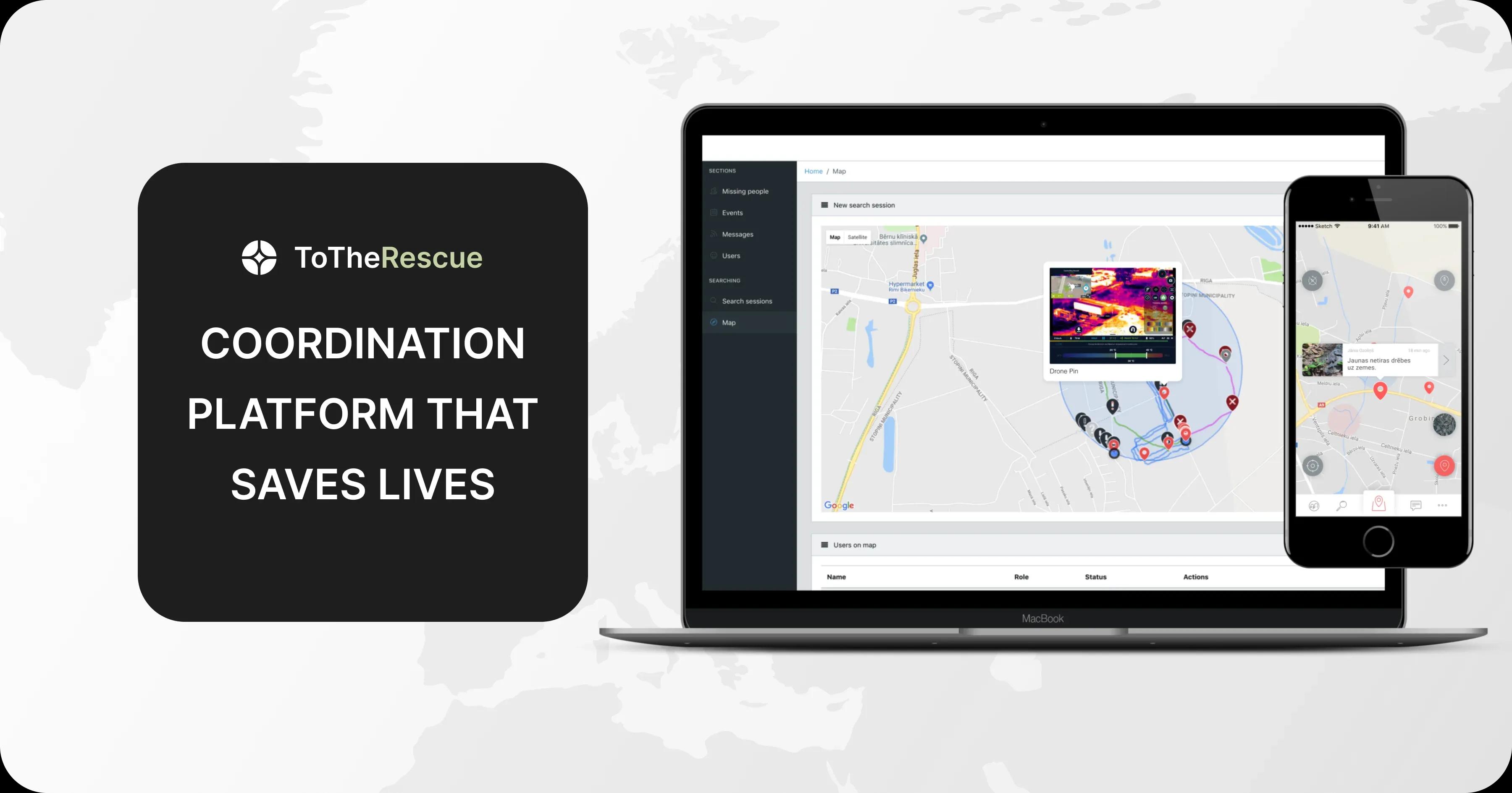
ToTheRescue is a search-and-rescue platform that can be used equally for searching for lost people, hurricane rescue, military evacuation, or high-stakes border patrol operations. When integrated with drones, it is a great example of the latest generation of SAR UAV software.
It increases speed, reduces risk, and improves the effectiveness of rescue operations across a range of commercial, military, and humanitarian applications.
In this article, we discuss SAR platform use cases, providing a clear explanation of how state services, volunteer groups, companies, and military organizations can benefit from the ToTheRescue SAR tracking software.
ToTheRescue SAR Platform Use Cases – Why the List Is Wide?
ToTheRescue is a search-and-rescue common operations platform and mobile application that features low battery use, offline-first operation, scalability, and integrations with other devices, making it adaptable to any search-and-rescue operation.
It collects data under low or no connectivity, can scale to simultaneous use by hundreds of units, and operates for long periods without draining the battery.
Built-in integration with drones and sensors enables running complex operations that combine aerial data, process sensor signals, and coordinate actions in the field.
Such a combination of features makes this platform adaptable to a wide range of uses, including Alpine search, restricted zone monitoring, crowd, security, pipeline patrolling, and more.
Want to learn more about how ToTheRescue can help with search, evacuation, monitoring, or security patrol operations run by your organization?
Contact our team to discuss details and use cases. Let’s talk now!
Alpine Search, Missing Person Response and Other Humanitarian SAR Operations
 ToTheRescue was created as a response to the failed search operation for the missing person in Latvia. Having analyzed the mistakes in that case and after field training with the volunteer organization Bezvest.lv, the engineers at Chili Labs crafted a SAR platform that concentrates the most useful and battle-tested features for coordinating multiple search teams, conducting cross-agency search operations, and working in difficult or inaccessible terrain.
This set of features simplifies missing-person search-and-rescue operations across different scenarios, whether it is lost-hiker searches or other operations in forests and wilderness.
Energy-efficient background processes support long missions, and running the app at low temperatures makes it perfect for Alpine search-and-rescue operations in extreme weather conditions.
Search operations often involve multiple agencies, and ToTheRescue simplifies coordinating them at the software level. This SAR app enables coordinating volunteers, police units, firefighters, and drones. Moreover, it can handle hundreds of units at once, has strict access control, and can add new units or drones in seconds, easily scaling to managing teams of any size.
Natural Disaster Rescue Operations
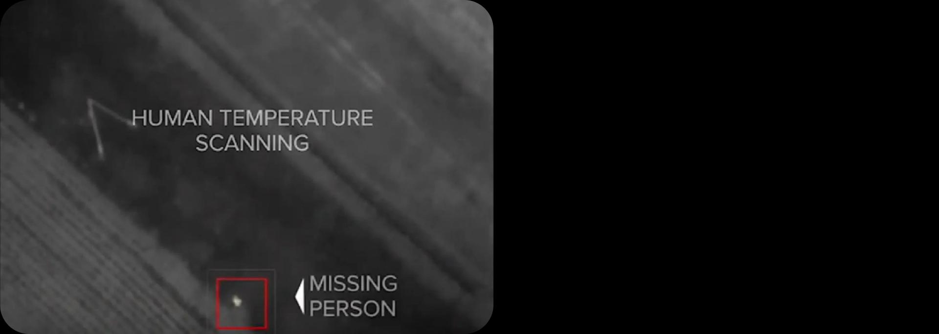 Locating missing people after disasters goes faster with the proper SAR tracking software. ToTheRescue simplifies flood, wildfire, hurricane, landslide, and earthquake response operations.
It coordinates emergency teams, including units working in areas with no connectivity, tracks responders across affected areas, maps areas already inspected, and identifies those that still require attention.
Large-Scale Event Security
 Crowded events like concerts, festivals, conferences, and sports games require complex security patrol coordination. This makes them another perfect use case for SAR tracking software like ToTheRescue.
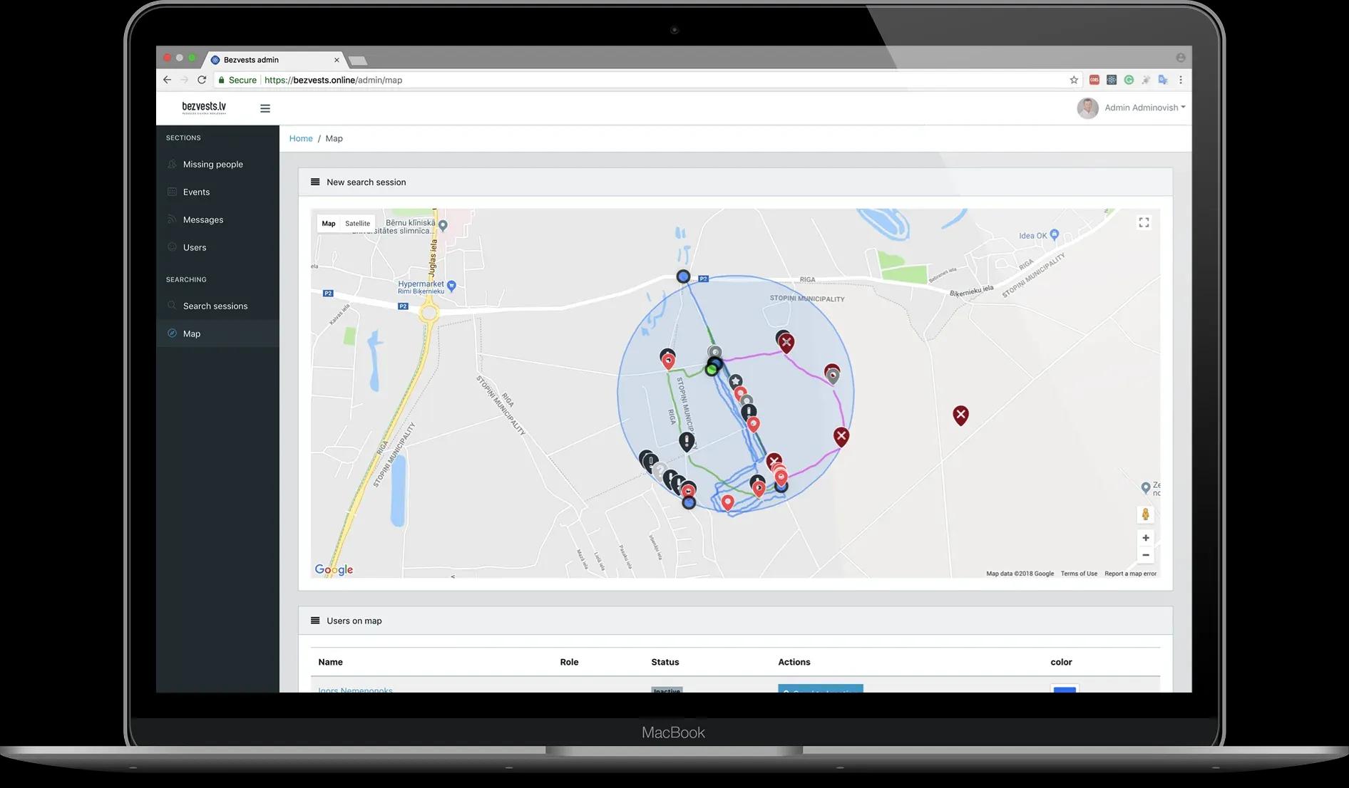
The app supports patrol sector assignments, staff location tracking, identifying uncovered areas, and coordinating emergency responses. Thanks to the integration with drones, ToTheRescue allows assigning drones to specific sectors, combining data with personnel locations and maintaining a unified security picture overall.
The high-performance backend architecture allows hundreds of new units to plug in simultaneously if the crowd's security is compromised and reinforcement is needed.
Border Surveillance and Border Patrol
 ToTheRescue enables effective border patrol operations, especially in situations of heightened tension, such as migration crises or intervention risks.
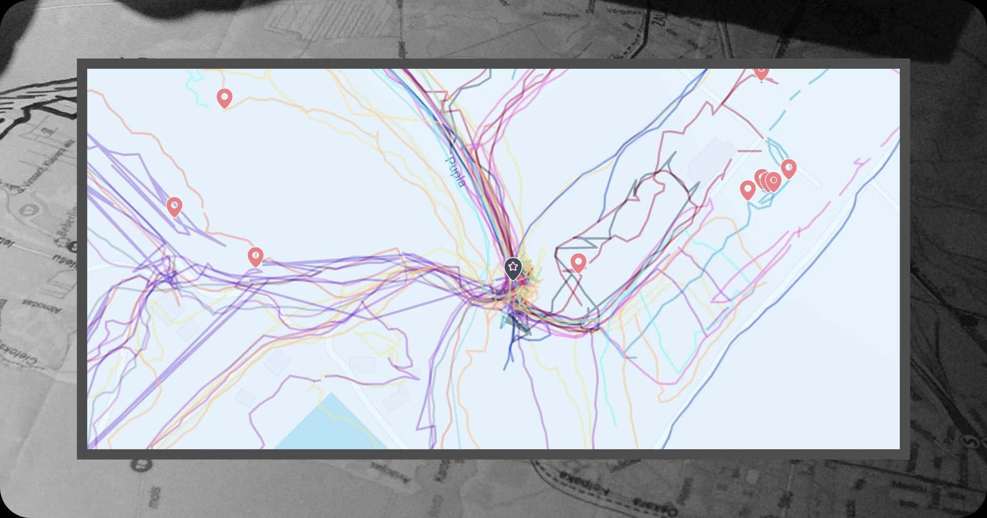
As a SAR app, ToTheRescue was created to identify gaps in search operations. The very same feature is perfect for identifying gaps in border patrol routes. The app allows tracking of patrol actions, monitoring of large border areas, and verification that all designated border sectors have been covered.
Since core workflows are usable offline, with further synchronization when connectivity returns, ToTheRescue enables continuous monitoring of difficult terrains, areas of low connectivity, or ones that require radio silence.
The platform also allows for coordinating ground teams with drones and collecting data from thermal-camera surveillance for effective border operations at night.
Critical Infrastructure Inspection
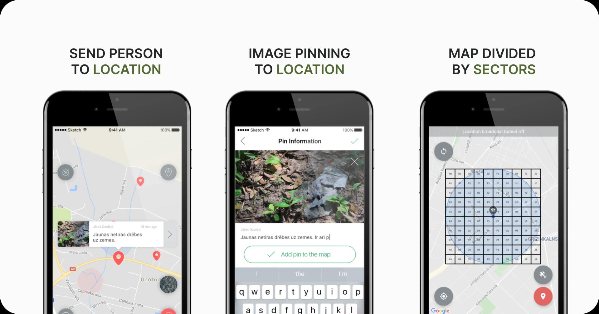 As a SAR platform, ToTheRescue has the features needed to perform various tasks related to critical infrastructure inspection and security.
It equips powerline or pipeline inspection teams with the means to coordinate and verify routes, flag abnormalities in real time, and track and monitor patrol units. The app generates automated reports for every inspection operation, saving time on routine reporting.
Yet the special benefit for commercial and state organizations that serve critical infrastructure is the security features they offer. The ToTheRescue SAR software is deployed on-premises, ensuring full control over infrastructure data. An additional security layer is provided by enhanced data encryption, which helps protect sensitive operational data.
Military SAR Operations, Area Sweeping & Clearance
 Military search and rescue operations have heightened requirements compared to civil SAR activities. Emergency personnel recovery, such as downed-pilot missions, can be more effective and faster with SAR software like ToTheRescue, but such a platform must meet military-grade security requirements.
ToTheRescue solves this problem. Thanks to the on-prem deployment, the system can operate entirely on internal or field servers, so the operations unit will have full control over mission data. Role-based access restricts permissions and data access to user roles. All the data is encrypted, and the platform provides complete data sovereignty as it doesn’t rely on private or public clouds.
Another important feature for military use is the integration with search-and-rescue UAVs, heat cameras, and GPS patches – a must for military SAR operations today. The integration with GPS patches can be especially important for running radio-silent exfiltration or infiltration operations. Such patches can handle encrypted military bands, so they can resist jamming and spoofing, while the encrypted data transfer of ToTheRescue adds an extra layer of security.
In general, ToTheRescue enables systematic area searches, sector-by-sector territory clearing, tracking unit movements, coordinating ground and aerial reconnaissance, and managing operations when connectivity is disrupted.
The latter is possible thanks to the offline-first architecture, which allows the app to operate in conditions of radio silence and automatically synchronize when connectivity returns.
Perimeter Security Monitoring
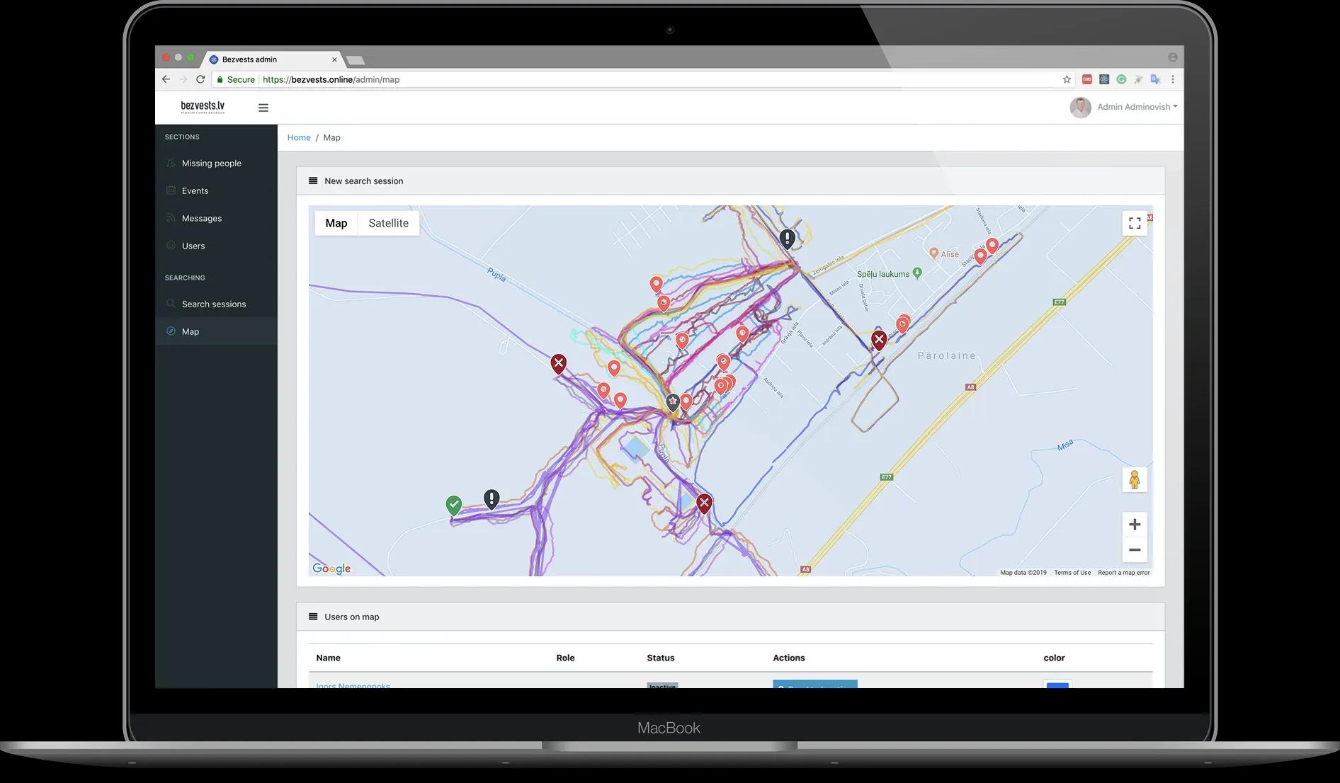 Multiple large-scale objects, such as airports, ports, or industrial facilities, are difficult to monitor using manual notes and walkie-talkie reporting.
A SAR app like ToTheRescue can also be useful in such a situation. It helps to track and monitor the movement of patrol and maintenance teams, verify patrol routes were completed, speed up the reporting and detect gaps in patrol coverage.
It can serve as the necessary software for industrial facility security, military base perimeter monitoring, power plant perimeter patrols, critical infrastructure protection, construction-site perimeter monitoring, and more.
Tourist Safety Improvement
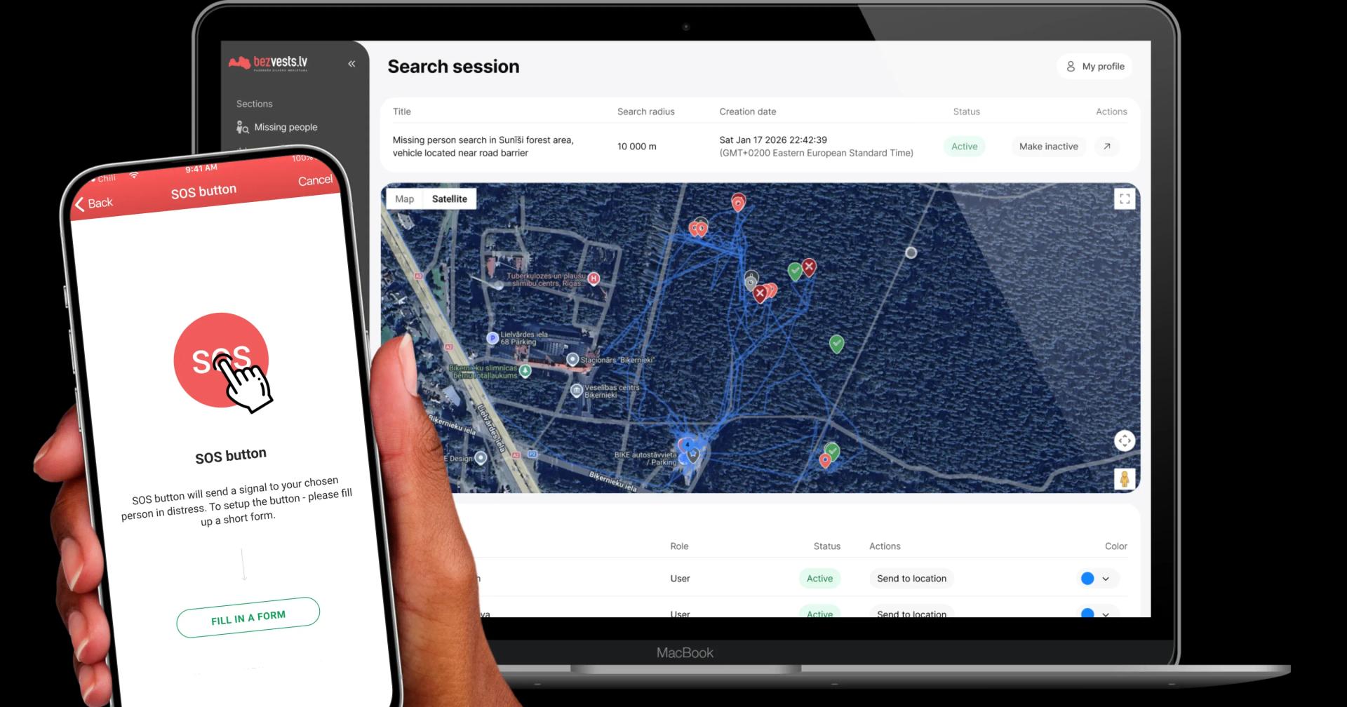 One important and, potentially, life-saving feature of ToTheRescue is an integrated SOS button. The SOS button allows users of the app to report an emergency by holding the button for three seconds. Then, the location of the device, the battery level and the key information about the person is immediately transmitted to the police, closest relatives indicated and other parties. After, the app renews the signal every 30 seconds or 5 minutes, based on the device battery level.
This functionality can be used for the safety of tourists on hike trails, in national parks or ski resorts. Using GPS patches, they stay connected to the ToTheRescue platform even without phone connectivity, and can be located quickly in an emergency.
Summing up
A search-and-rescue software platform like ToTheRescue enables coordination and increases the effectiveness of search operations of any complexity and team size. It enables secure connections and data transmissions, offline operations, automatic synchronization, drone paired with heat camera integration, and automated reporting. Altogether, these features make ToTheRescue a perfect app for government, humanitarian, or military organizations running patrol or search-and-rescue operations.
Do you want to discuss whether the ToTheRescue app features meet the needs of your organization?
Discuss your benefits with our team. Book a call now!
Similar articles
Discover more with our related articles section. Stay informed about mobile app development, event organizing, and more.
ToTheRescue – A SAR Platform to Save Lives
Learn more about ToTheRescue and what features make it a one-stop solution for government, humanitarian, and commercial organizations searching for...

ToTheRescue — Global platform that saves lives
“To make the world a better place“ — how often did you hear that from companies and startups?...